We shape cities,
and they shape us.
Cities shape us as we shape them. Yet most urban work still travels through static document loops. A plan leaves the room as a file, returns as another attachment, while the live project keeps changing underneath. By the next meeting the file is already out of date.
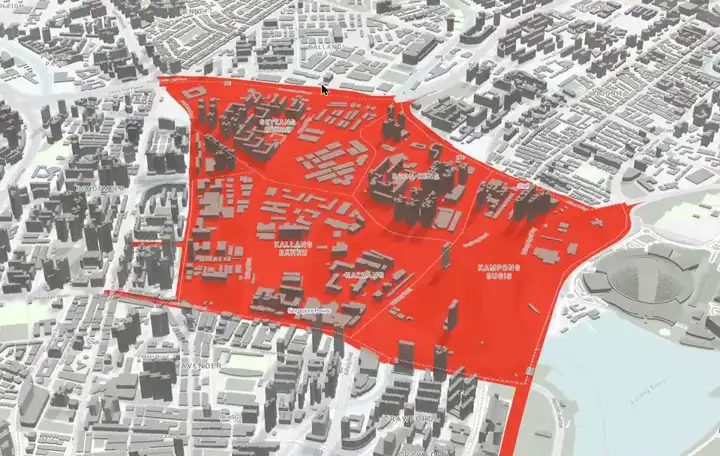
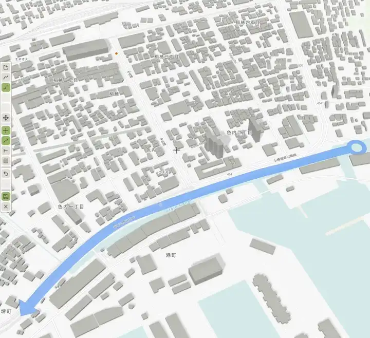
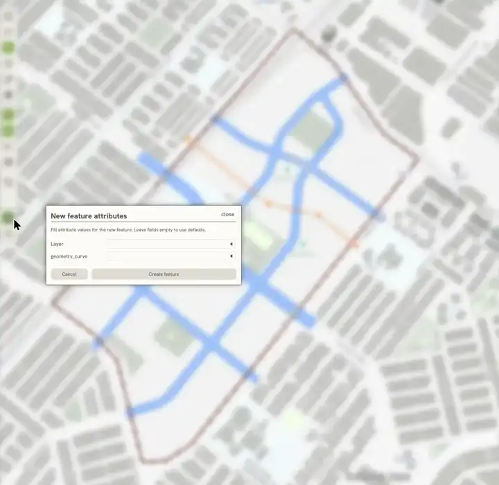
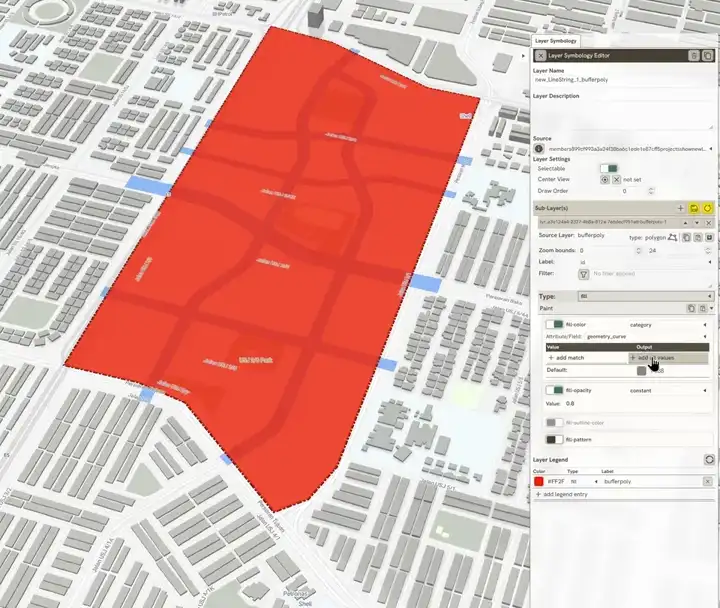
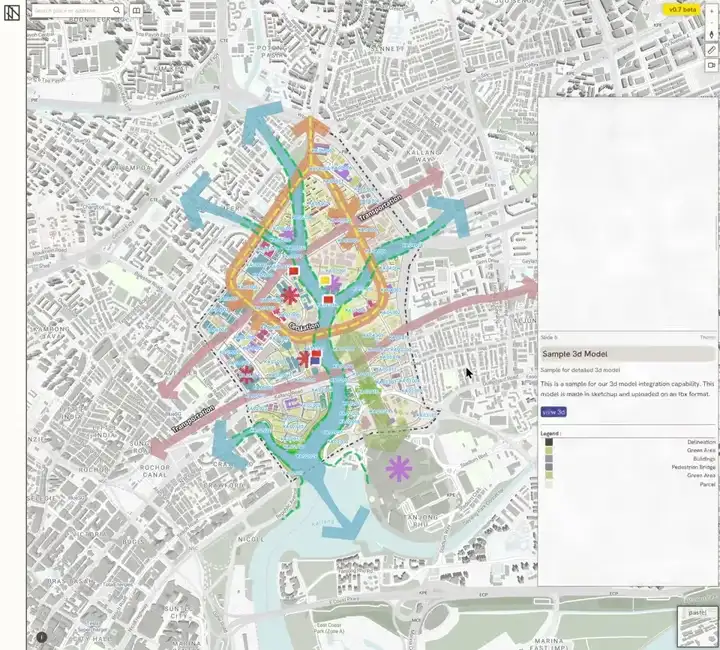
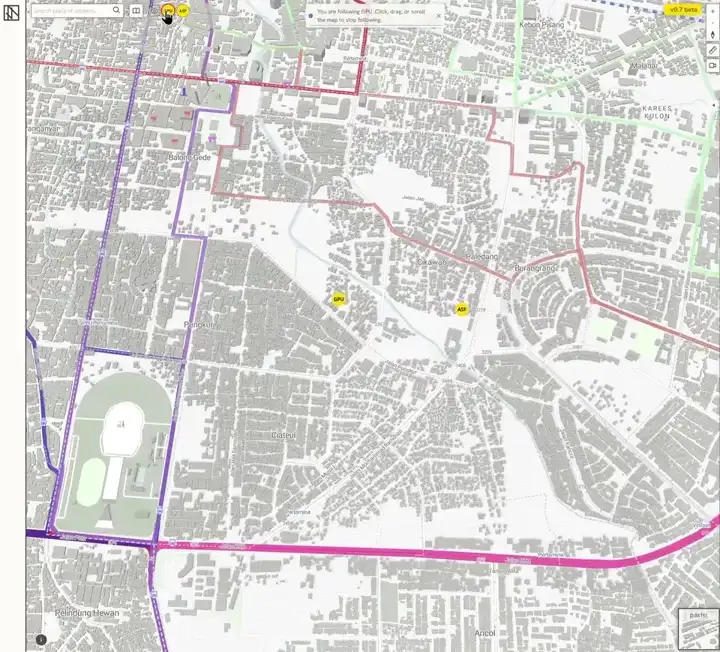
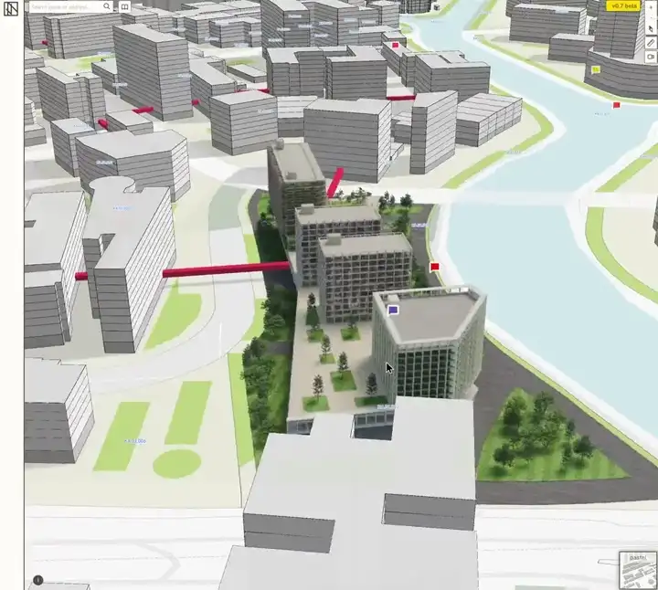
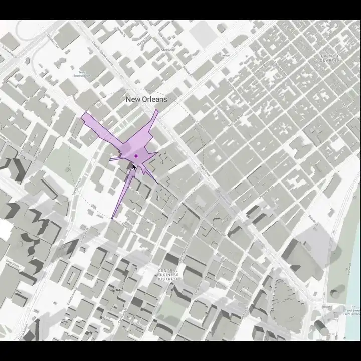
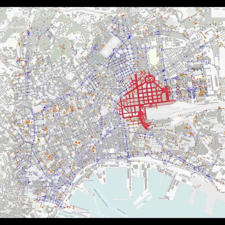
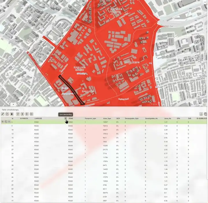
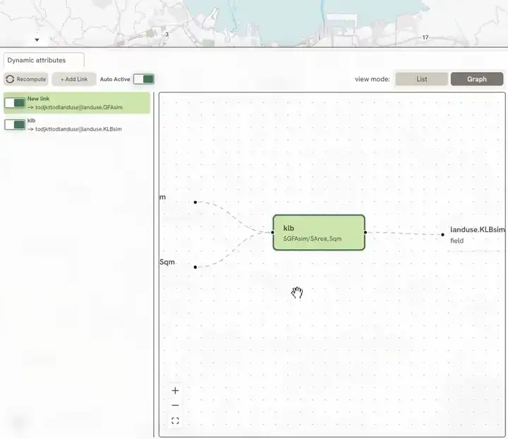
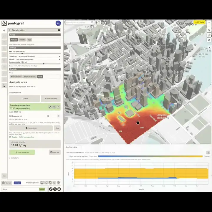
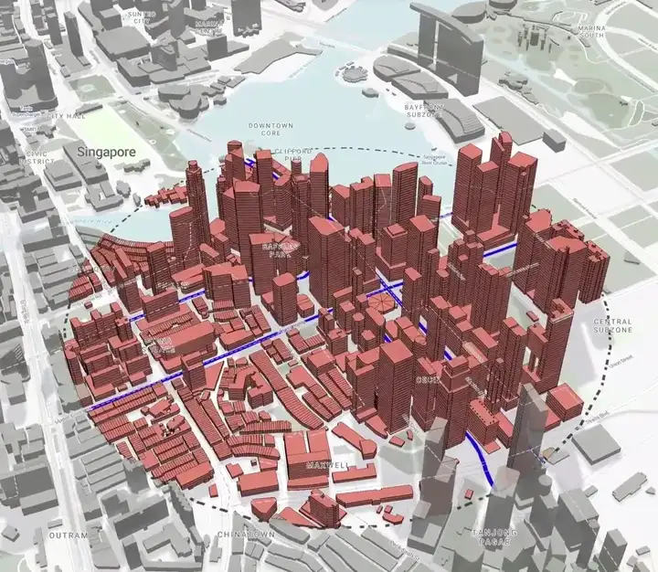
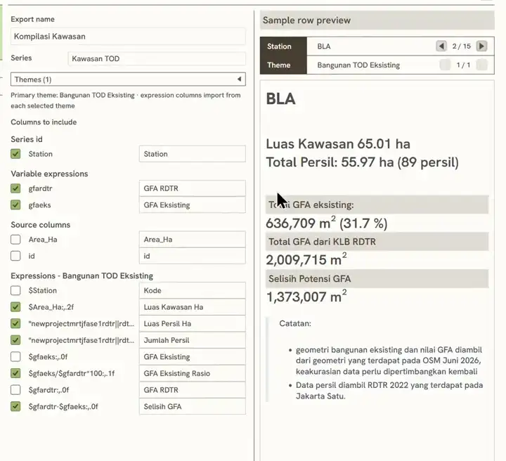
Pantograf gathers plans, documents, and spatial depth on one map, so many hands can share the same ground. It is meant as a connected whole: versatile across roles and industries, open to the kinds of collaboration that sharpen decisions and, over time, make better cities.
Made for